Another Snow Storm Expected To Hit The Quad Cities This Weekend

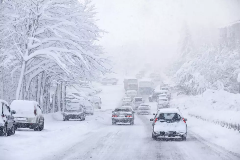
If you thought we didn't have enough snow this winter, then you're in luck! More snow is expected to fall this week throughout eastern Iowa and northwestern Illinois, including the Quad Cities area.
Earlier this week, the Quad Cities already saw a pretty decent size snow storm move through the area. Fortunately with that storm, we saw less snow than forecasters were anticipating. The most the Quad Cities saw when it came to snow fall was 6.1", which was reported by the Quad City International Airport
It should be of no surprise to you when I say more snow is on the way. It is winter, and we do live in the Midwest.
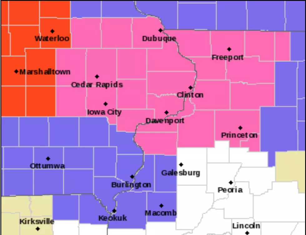
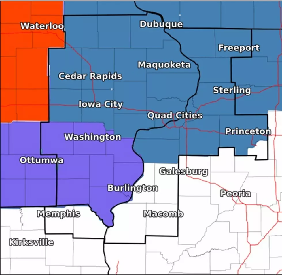
According to the National Weather Service (NWS) of the Quad Cities, another winter storm is likely to impact eastern Iowa and northwestern Illinois, along with the Quad Cities are this weekend.
There is still a lot of uncertainty with this storm, including timing, precipitation type and amount, and the magnitude of impacts.
The NWS grows more confident about the storm impacting the area as we move closer to the weekend.
Right now the Quad Cities area is above a 60% chance of seeing more than 2" of snow. There is a high probability of seeing some accumulating snow for areas along and north of Interstate 80.
Right now, the forecast according to the NWS of the Quad Cities is as follows:
- Saturday
- Snow before 2pm, then rain and snow between 2pm and 5pm, then snow after 5pm. High near 36. Chance of precipitation is 80%. New snow accumulation of around an inch possible.
- Saturday Night
- Snow. Low around 30. Chance of precipitation is 90%. New snow accumulation of 2 to 4 inches possible.
- Sunday
- A 40 percent chance of snow before noon. Cloudy, with a high near 34.
LOOK: See the iconic cars that debuted the year you were born
More From ESPN 104.1 FM and 1170AM